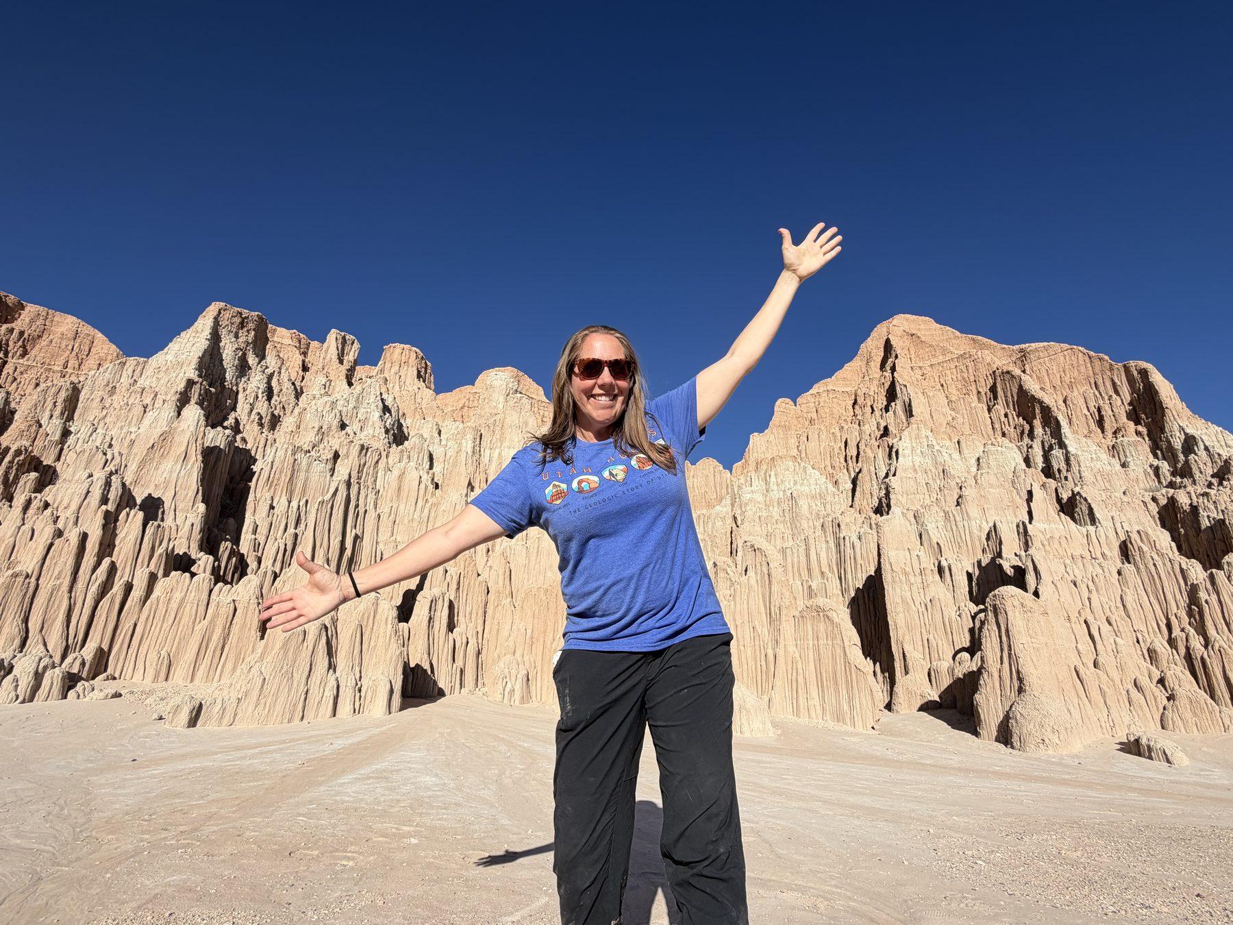
In April 2026, we visited Cathedral Gorge State Park in Nevada—and were delightfully surprised at what an interesting place it was! It was different from any other desert park we’ve experienced, and it was so fun exploring the small slot canyons.
I’m Matt, and my wife, Cheryl, and I write travel guides to help people plan trips around the West. We paid our own way on this visit, and below I’ll share what surprised us, what we enjoyed, and what to know before you go.
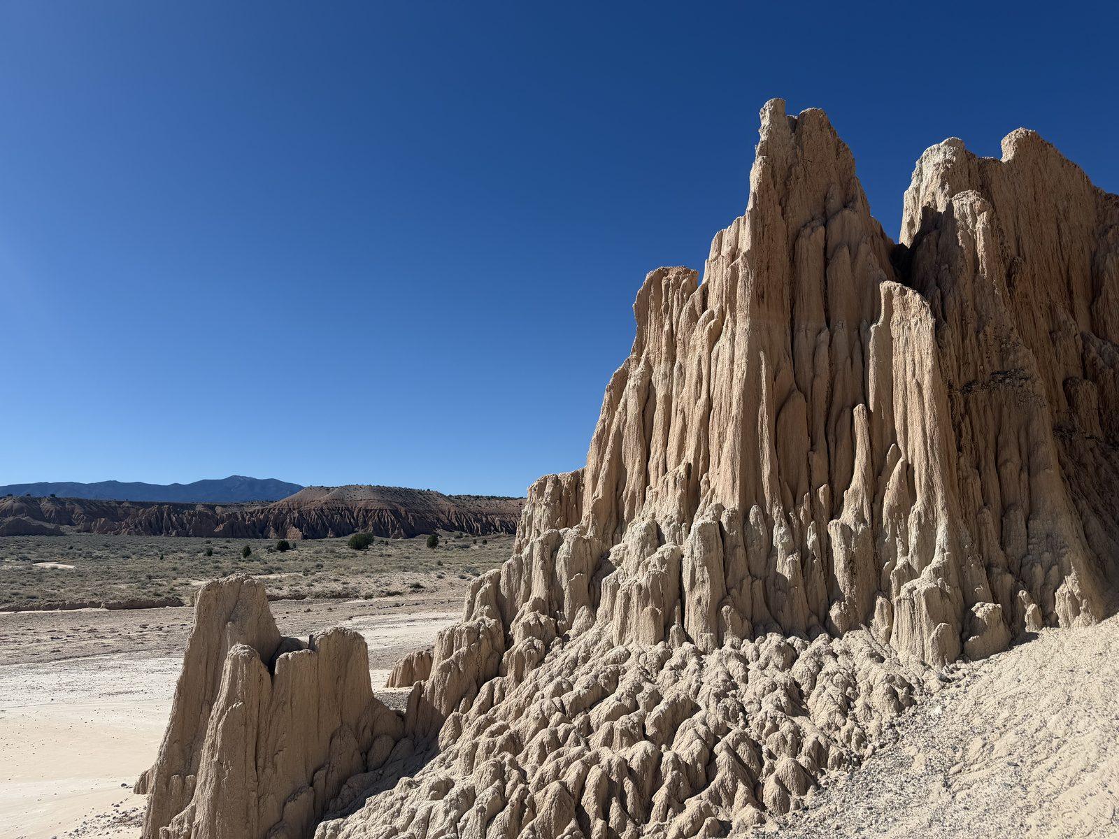
Cathedral Gorge is a state park in eastern Nevada. It’s a valley surrounded by cathedral-like formations. The formations reminded me of the Emerald City in The Wizard of Oz, with rounded tops.
They are made out of clay and volcanic ash. Basically, they are dried mud towers. They are really bizarre—I’ve never quite seen formations like this anywhere.
The clay is soft enough to erode easily, so explore the passageways gently, stay on established routes, and avoid climbing on or breaking the formations.
Get our done‑for‑you, 5-7‑day route with exact drives, maps, and must‑see stops so you don’t waste time in traffic or miss the best views.
Inside the guide:
*Day‑by‑day plan for Zion, Bryce Canyon, Capitol Reef, Arches & Canyonlands
*Exact times, routes, and photo stops
*Includes audio stories to listen to as you drive
*Best Friend Guarantee: love it or get your money back
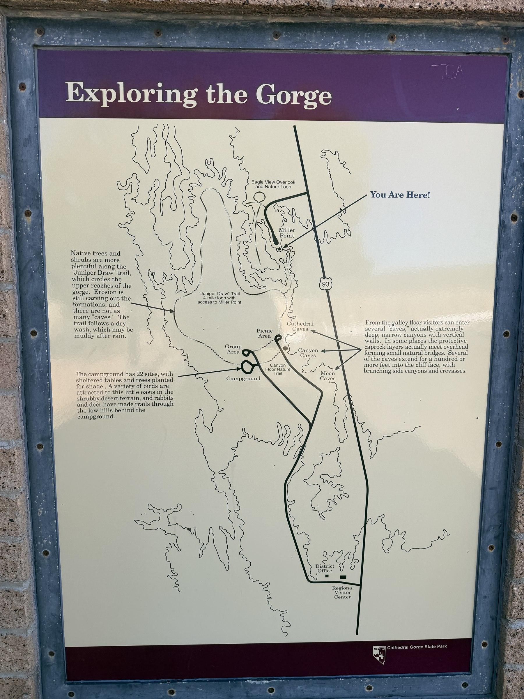
Basically, there is one short road called Cathedral Gorge Road that leads into the valley of the spires. It’s 1.6 miles from the visitor center to the last dead-end stop in the park.
There are three main parking areas to explore the spires (although you can really park roadside just about anywhere): Moon Caves, Canyon Caves, and Cathedral Caves. These span about 0.3 miles, so it is a small and condensed area.
A spur road leads to the campground.
Miller Point is the main overlook of the spires and the rest of the park. To get there, you need to drive back out to Highway 93 and drive 2.6 miles north.
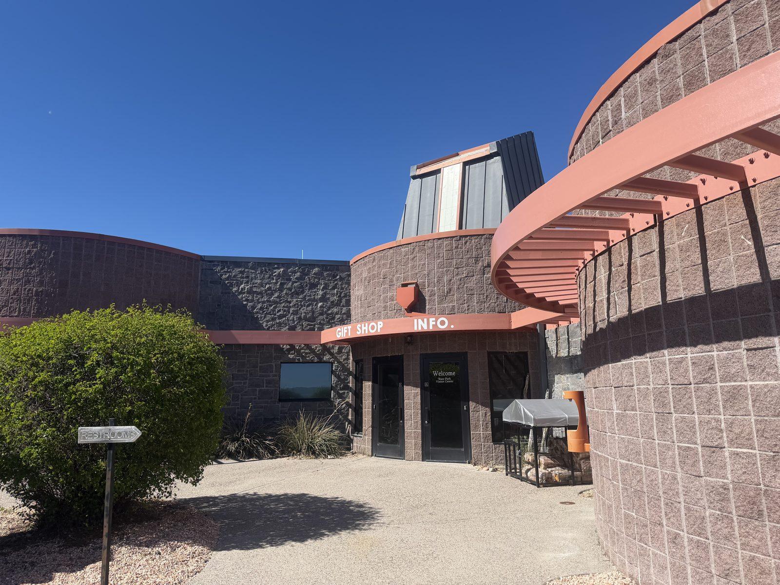
The visitor center is a fairly large building for a small state park. Cathedral Gorge was established in 1935 and was one of Nevada’s first four state parks.
The outside of the visitor center has some nice displays, though they are looking dated. The inside of the visitor center didn’t have as much as we had hoped, but it did tip us off to the many other state parks in the area, which we’d consider visiting sometime in the future. It’s actually a “regional visitor center,” not just dedicated to this state park.
Honestly, the ranger wasn’t too excited to help us, but he did give us a map and show us a few trails in the park.
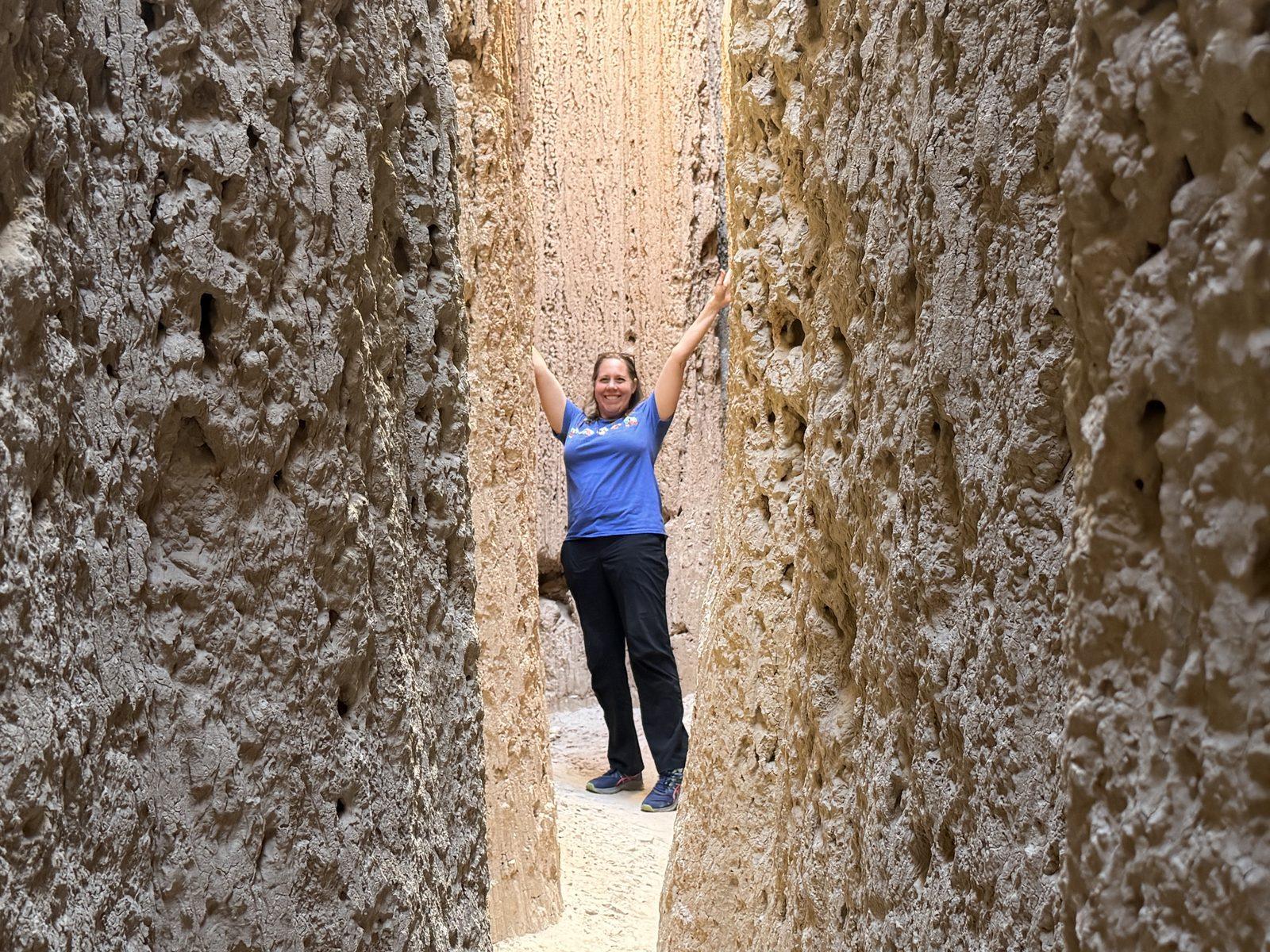
This is the highlight of the park—walking back into the spire-like formations.
I’m not sure why they call them “caves,” as they are really just narrow slot canyons that lead to a dead end. They aren’t all that dark, as sunshine comes in from above.
They aren’t really marked. Just walk toward the spire walls and find a crack to walk back into. Each one gets increasingly narrow and eventually ends.
We just kept going down different passageways and loved it.

I don’t know the exact distances, but most seemed like they were only 20 yards or so. Some were longer, some shorter.
We left our kids back at the hotel swimming pool, and they were very happy staying at the pool, but we kept thinking how much fun they would have had scrambling around here.
It’s a photogenic little spot, and we had a great time exploring.
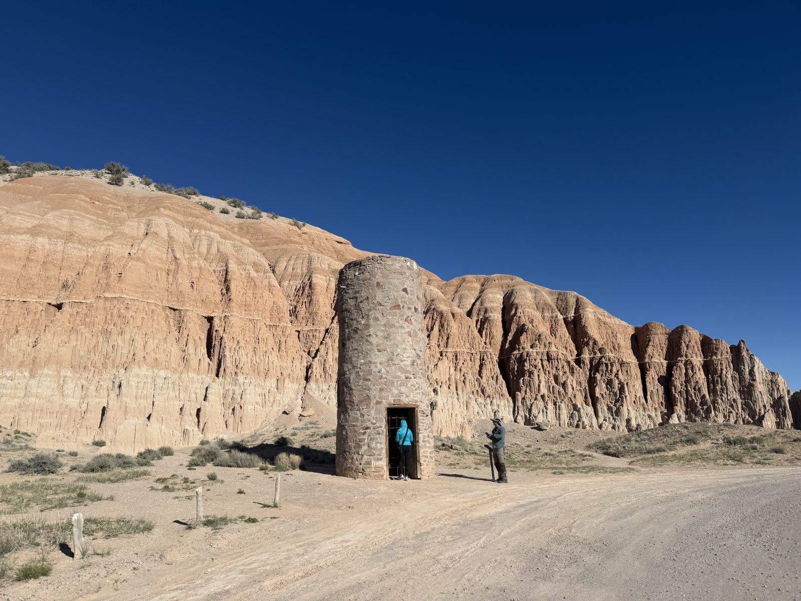
The park was established during the 1930s, when the Depression-era Civilian Conservation Corps helped with public works projects all over the country.
To make this a viable state park and campground, it needed water. The CCC built a water tower to store and supply water to the campsites.
The water tower is no longer in use, but it’s a somewhat interesting photo op, located right along Cathedral Valley Road.
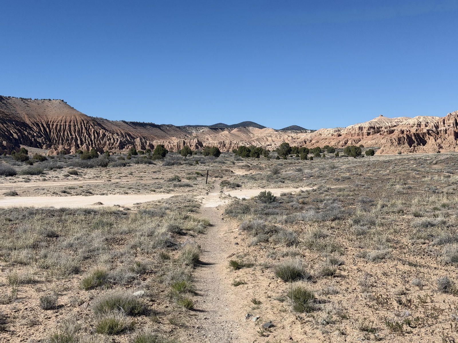
The end of the road is the trailhead for two hikes: Juniper Draw Loop and Miller Point. We chose the Juniper Draw Loop.
This rewarding 3-mile hike took us out of the spires and into the open valley. It’s called Juniper Draw because it is a dry river wash, or a draw, and there are many juniper trees all around.
The park’s brochure lists Juniper Draw Loop as 3 miles, while the current park webpage describes the remote loop as 4 miles. Our hike took about an hour, so check the latest trail information at the visitor center before starting.
It provides views of the interesting badland/spire formations all around the valley.
We didn’t see another person on the entire hike. I didn’t expect to enjoy this hike much, but it was really nice. It was a gorgeous spring day in April, though. In the summer, this exposed hike would surely be a scorcher.
The Juniper Draw Loop actually went through the campground, so we did get a look at it. But I guess I forgot to take pictures of it! It looked like a fine campground—definitely a barren desert sort of a place.
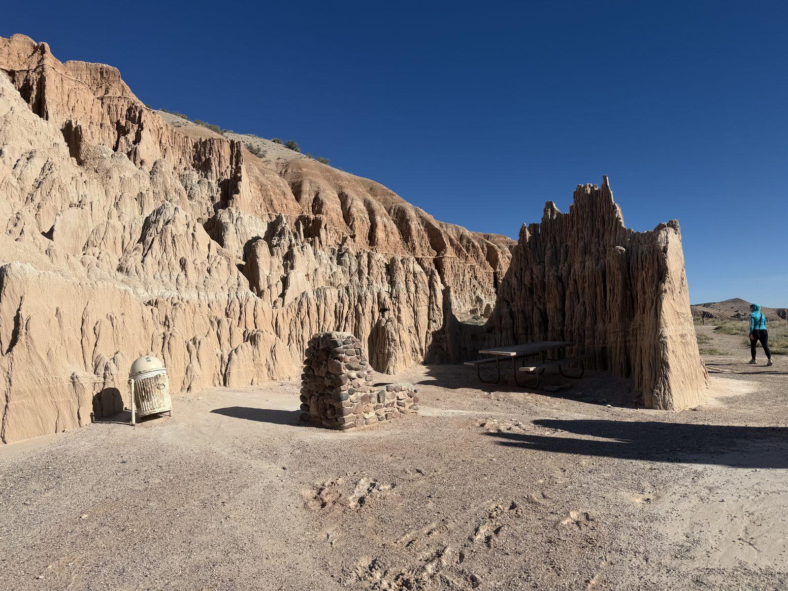
There was a picnic table at the end of Cathedral Spires Road, and it sits right next to a spire mud wall. It would be nice to eat here later in the day because the wall provides some shade for the table. But during most of the day, it’s exposed.
The nicer picnic area is at Miller Point, where there are several tables that are covered. And you get views down into the little gorge as well.
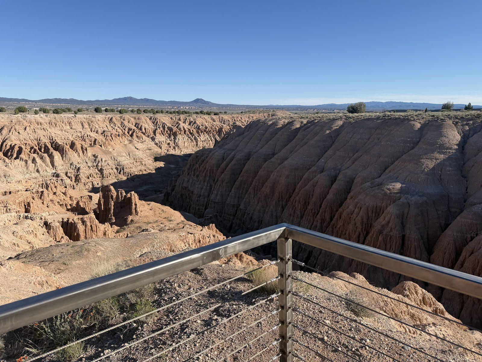
We finished by driving up to an overlook, where you can look down on the formations. There are two trails from here.
The Miller Point Trail travels down into the gorge and connects with the Cathedral Caves parking lot (the last stop on Cathedral Gorge Road). Again, we opted for Juniper Draw Loop rather than this trail.
Eagle View Overlook stays up on top of the ridge and leads to even better overlooks of the valley and spires. We had just hiked through the entire valley and spires, so we didn’t see a need to do this trail, but we saw people up on the rim from below, and it definitely has good views.
Cathedral Gorge is remote—not very close to any major city or attraction.
I’m sure the long drive keeps most people away. In all, it was a 5.5-hour experience for us to visit from St. George.
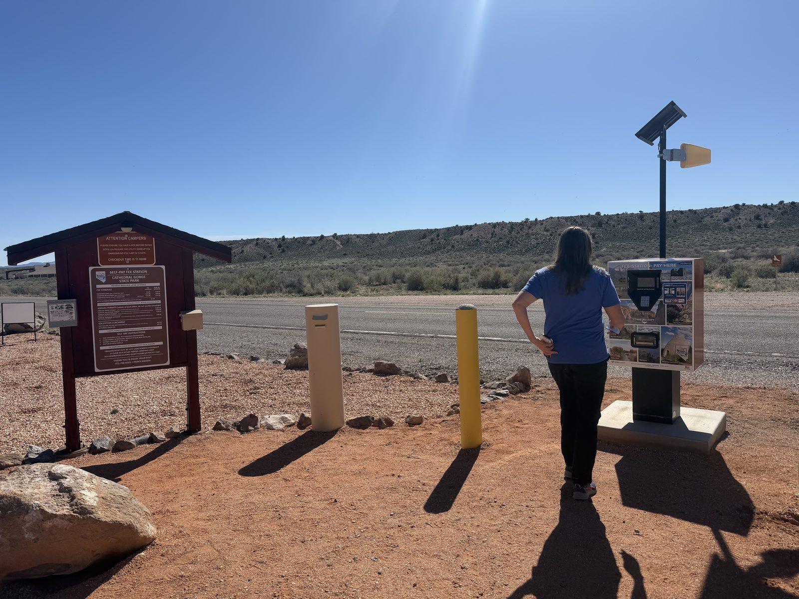
This is a Nevada state park, and as of this writing, it costs $5 per vehicle for Nevada state residents and $10 per vehicle for nonresidents. Check the official Cathedral Gorge State Park website for the most up-to-date information.
There is a visitor center upon arrival, but the fee is paid at the kiosk as you drive along the road into the valley.
Spring and fall typically offer the most comfortable temperatures. Our April visit brought gorgeous hiking weather, while summer can be brutally hot and offers very little shade.
It’s always wise to prepare for the desert heat and dryness. Bring a hat, sunscreen, lip balm, lotion, and water. Cathedral Gorge is a short visit, and you don’t need to go overboard or anything, but especially if you want to do some hiking, be prepared.
I think most people probably spend this much time. We did the 3-mile hike and spent a total of 2 hours here.
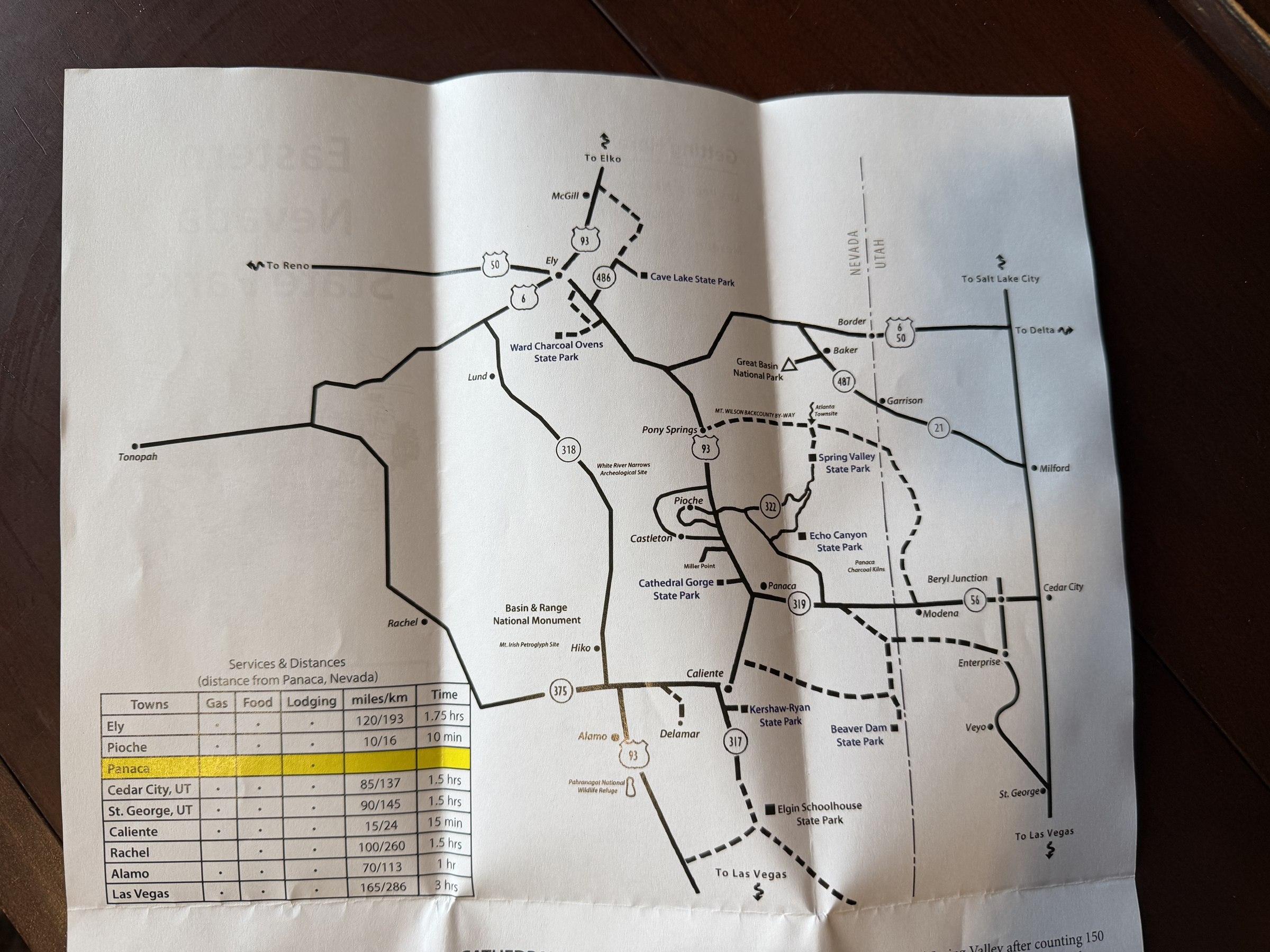
Panaca is the closest town and has one gas station, one market, and, as far as I can tell, one food truck. The next closest restaurants are in Caliente, 15 minutes south.
Make sure to fill up, because no matter where you’re coming from or going to, you’ll likely be driving for a long time with no services.
Panaca, Nevada
Cathedral Gorge is located next to a small town named Panaca, Nevada, which is the second-oldest town in Nevada. It was settled by pioneers from The Church of Jesus Christ of Latter-day Saints. It’s not a tourist attraction, but I do kind of like driving through small, remote Nevada towns. We did not stop at anything while here, but I later found out about the…
Panaca Charcoal Kilns. These beehive-like masonry ovens were built in the 1870s to turn timber into charcoal for the silver smelters in Pioche, NV. They are about a 5-mile (15-minute) one-way detour off Highway 319, just east of town on the way to Cedar City/St. George.
Great Basin National Park
Nevada’s only national park is about two hours away in the mountains. We haven’t visited yet, but it is on our list.
State Parks
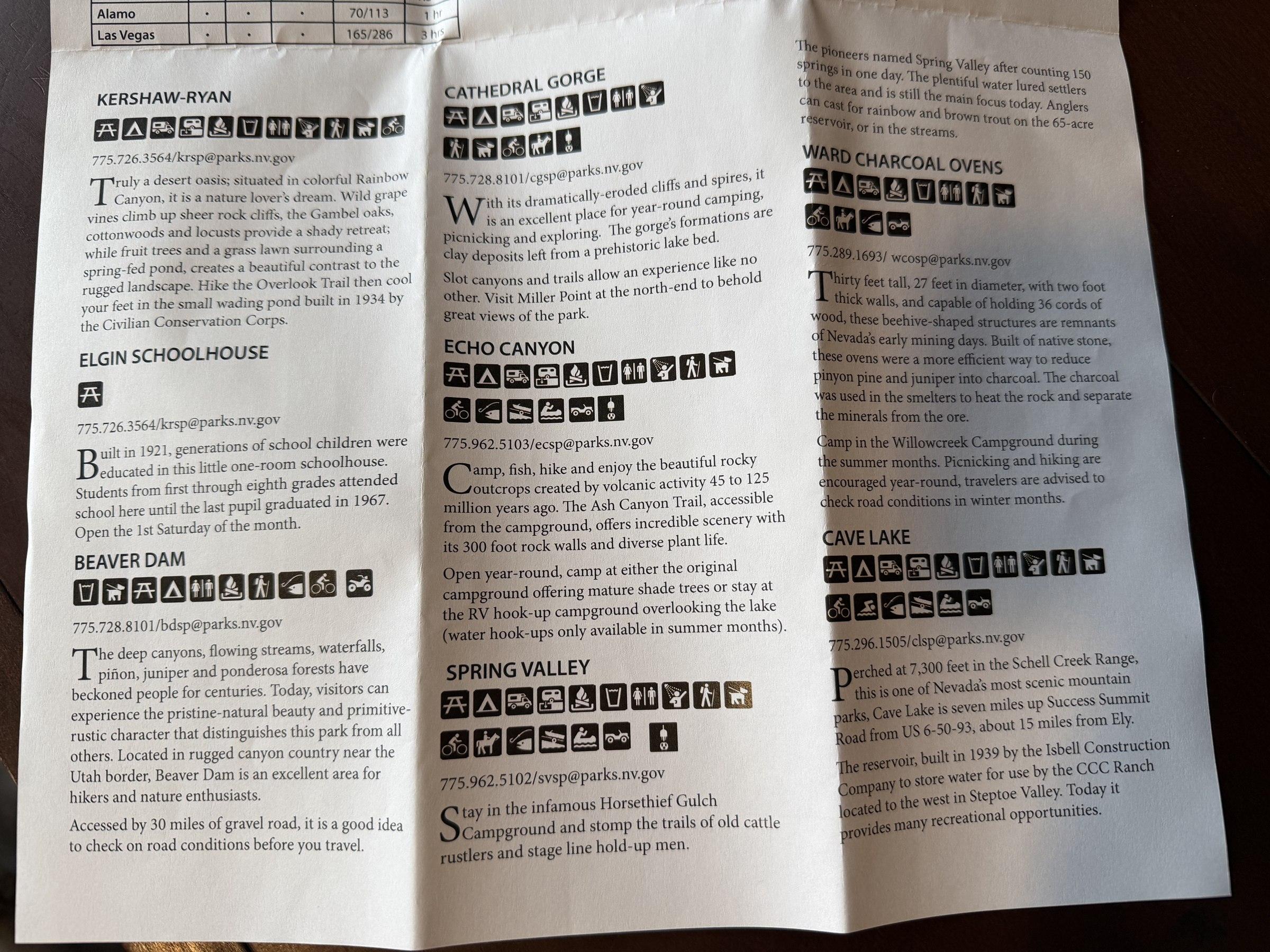
There are several other state parks nearby. I’ve attached the map they provided, which also has a description of each one.
Utah
If you’re doing this as a day trip from St. George, consider teaming it up with a stop at Veyo Pies for a yummy treat or a visit to the mountain town of Pine Valley (a completely different feel than the desert of St. George!). The Vortex Trail is a short detour and a lovely 2.4-mile hike. Snow Canyon State Park is also located on the route.
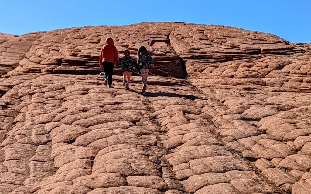
More Southern Utah trip ideas: Read our guides to the best things to do in St. George, Snow Canyon State Park, and Cedar City.
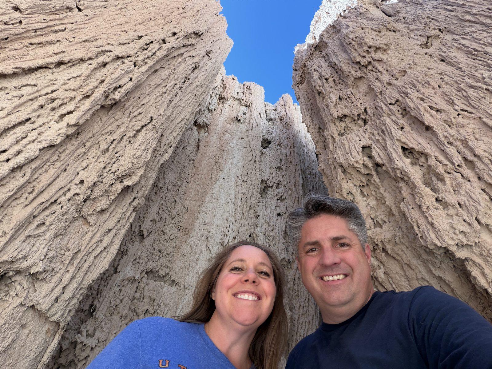
This state park surprised us. The formations were unusual, and we enjoyed exploring them. The hike was a cherry on top. It’s a bit of a drive, but it was worth it for us.
Get our done‑for‑you, 5-7‑day route with exact drives, maps, and must‑see stops so you don’t waste time in traffic or miss the best views.
Inside the guide:
*Day‑by‑day plan for Zion, Bryce Canyon, Capitol Reef, Arches & Canyonlands
*Exact times, routes, and photo stops
*Includes audio stories to listen to as you drive
*Best Friend Guarantee: love it or get your money back