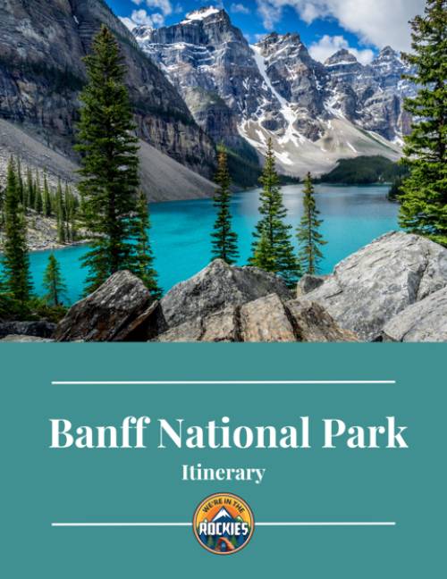
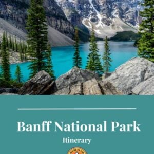
Banff National Park is visited by millions of people a year who come to enjoy the picturesque landscape of the Canadian Rockies.
The most popular way to visit Banff National Park is by driving, either on your own or through a secondary provider. Most attractions in Banff National Park are within a 2-hour drive or 200 km (124 mi) radius of the Banff townsite, making it easy to do day trips to multiple attractions.
As an area local, I’ve spent a lot of time driving and cycling within Banff and the national park. Keep reading for some helpful things you need to know if you are planning to drive in Banff National Park.

Get our done‑for‑you, 5-day plan with exact drives, maps, and must‑see stops so you don’t waste time in traffic or miss the best sites
*Day‑by‑day plan for Banff (including Lake Louise and Moraine Lake), Yoho, Kootenay, and nearby sites
*Where to stay and eat
*Best Friend Guarantee: Love it or get your money back
*Want to visit more, including Banff, Jasper, Waterton, and Glacier? Save big $ and learn how to piece all this together with our Canadian Rockies Bundle
There are four entrances to Banff National Park. Two of the entrances have park gates. These are located on the Trans-Canada Highway travelling west toward Banff, just outside Canmore, and on the Icefield Parkway (Highway 93) south of Jasper. Find out more about entrances in our article What is the Best Entry into Banff? Banff’s Four Main Entrances.
There is no park gate entering Banff National Park travelling east on the Trans-Canada Highway, or travelling north on Highway 93 from Radium Hot Springs. Check out our article How to Get to Banff (Airports, Roads, Shuttles) for more information.

A national park pass is required to stop anywhere within Banff National Park or to drive on one of the scenic routes, like the Bow Valley Parkway or Icefields Parkway. A park pass is not required if driving through Banff National Park without stopping (you can make short stops for fuel, etc.).
Park passes can be purchased online on the Parks Canada website or at a park gate. Going to Banff National Park, the park gate is located east of Banff, outside the town of Canmore.
Coming west into the Park from British Columbia, park passes can be purchased at the visitor information centre at Field, BC.
Park passes can also be purchased at the visitor information centre in Banff, located on Banff Avenue. Follow the signs for ‘visitor information’ or ‘purchase park pass’.
National Park pass checks are often done at the entrances to major attractions and scenic driving routes. If you are caught without a park pass, you may be required to immediately purchase a pass from the conversation officer, given a warning with a required time limit of when you need to get a pass, or issued a fine.
GOOD TO KNOW: In both 2025 & 2026, the Canada Strong Pass allowed free entrance to all Canadian National Parks and museums throughout most of the summer. To learn more and find out if it will be available on the dates that you are traveling, visit the Parks Canada website.
The speed limit in Banff National Park is 90 km/hr (56 mi/hr).
Speed limits are enforced by the RCMP, highway sheriffs, and Parks Canada conservation officers. Vehicles travelling within 10 km/hr (5 mph) of the speed limit will not typically receive a speeding ticket so expect motorists on major highways, like the Trans-Canada (Hwy 1) or Icefields Parkway (Hwy 93), to travel closer to 100 km/hr (60 mph).
The townsites of Banff, Canmore, and Lake Louise have 30 km/hr (18 mph) speed limits. This might seem slow, but at the height of the summer season, you’ll be lucky to hit this speed.
Outlying roads to some attractions like the Banff Upper Hot Springs, Banff Gondola, Lake Minnewanka, and the Bow Valley Parkway (1A) will have speed limits of 60 to 70 km/hr (41 to 43 mph).
FIND OUT: Do I Need a Reservation to Visit Banff?
Banff National Park encompasses 6,641 km2, the majority of which is mountain wilderness and not accessible by vehicle. The main visiting areas of the park can be done in a couple of hours or a day.
There is no loop around Banff National Park – travel is linear (east-west, north-south), so it’s best done as day trips from a central location. The most popular location is Banff, but Lake Louise or Canmore are also great options.
Below are distances and travel times from Banff to areas in and around Banff National Park.
| Location | Distance | Time |
|---|---|---|
| East Park Gates | 20 km / 12 mi | 20 mins |
| Canmore | 27 km / 17 mi | 25 mins |
| Lake Louise via Trans-Canada Highway | 57 km / 35 mi | 43 mins |
| Lake Louise via Bow Valley Parkway | 60 km/ 37 mi | 55 mins |
| Lake Minnewanka/Two Jack Lake | 15 km / 9 mi | 20 mins |
| Banff Upper Hot Springs | 4.2 km / 3 mi | 8 mins |
| Banff Gondola | 4.2 km / 3 mi | 8 mins |
| Cave and Basin | 2.3 km / 1.4 mi | 6 mins |
| Sunshine Meadows (Ski Resort) | 17 km / 10.5 mi | 28 min |
| Johnston Canyon | 25 km / 15.5 mi | 28 min |
| Jasper | 290 km / 181 mi | 3.5 hours |


Banff National Park has several scenic drives: Bow Valley Parkway, Icefields Parkway, and Lake Minnewanka Loop.
The Bow Valley Parkway was the main highway between Banff and Lake Louise. Now it’s a meandering scenic 48 km drive with road pull-offs, picnic areas, and viewpoints. Except to share the road with cyclists.
To access the Bow Valley Parkway from Banff, take the Trans-Canada west and turn right at the exit for Highway 1A (toward Johnston Canyon and Castle Mountain). From the east off the Trans-Canada Highway, take the exit to the Lake Louise ski resort, then turn right onto Highway 1A.
The Bow Valley Parkway is closed to vehicle traffic from the west entrance to Johnston Canyon from May 1 to June 25 and September 1 to October 2 to allow for recreational usage such as cycling. From March 1 to June 25, no travel is allowed by anyone from 8:00 pm to 8:00 am.

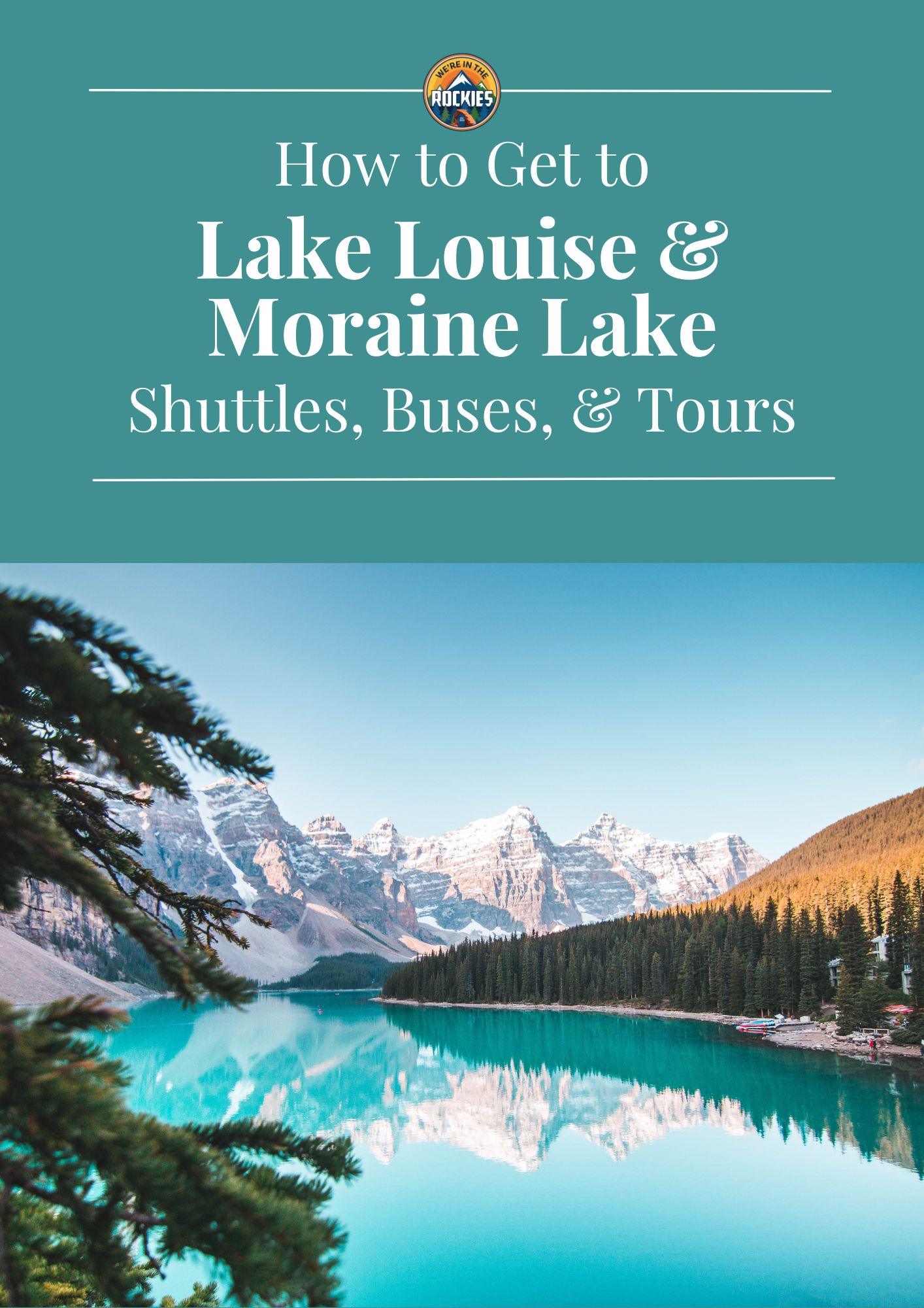
Step‑by‑step transport and reservation guide so you actually make it to both lakes instead of getting blocked by full parking lots and sold‑out shuttles
Inside the guide:
*Exact reservation steps so you know WHEN bookings open and WHICH options to choose
*Shuttle, bus, and tour comparisons so you pick the easiest way to see both lakes in one day
*Where to park (and where you can’t) so you don’t drive all the way up just to be turned around
*Key reservation windows & backup options if your first choice is sold out
The Lake Minnewanka Loop is a 5 km (3 mi) loop (15 km/9m mi total from Banff) that starts from east Banff Avenue. The loop takes you past Cascade Ponds, Johnson Lake, and Two Jack Lake.
From May to November, it’s a multi-directional loop. In the winter, it is not a loop, as a portion of the road is closed and used as a cross-country ski trail.
The preferred direction to drive the loop is counter-clockwise. This direction provides better views and easier access to the different attractions (right-hand turns versus trying to cross over traffic with left-hand turns).
Expect a lot of cyclists (and roaming big horn sheep) and vehicles stopped at the side of the road for photos.


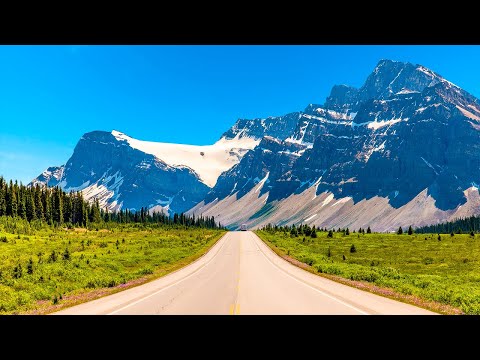
Known as one of the world’s most scenic drives, the Icefields Parkway (Highway 93) is a 232 km (144 mi) double-lane highway that connects Lake Louise and Jasper.
Plan for this trip to take 4-5 hours (one-way), depending on the number of stops, traffic, and weather. There are numerous attractions along this highway, but not a lot of places to eat, so bring food. There are pullouts for bathroom breaks. The only places with running water are the Icefields Centre and Saskatchewan River Crossing Resort – which is also the only place to get fuel.
Expect to share the road with cyclists and to accommodate vehicles stopped on the roadside. Find out more in our article How Long Does it Take to Drive the Icefields Parkway?
DON’T MISS: How to Visit Banff National Park: A Beginner’s Guide
Banff National Park has a lot of traffic.
The Trans-Canada Highway, which travels east-west through the park, is a main transportation corridor with a large volume of commercial vehicles like semi-trailers and buses. It’s a two-lane divided highway so traffic normally flows well; however, when delays occur due to construction, accidents, or weather, traffic quickly becomes a nightmare.
The Banff townsite has massive congestion from vehicles, pedestrians, cyclists, and, in the summer, even horse carriages. Driving requires patience and a watchful eye.


Only one vehicle bridge connects the two sides of Banff across the Bow River. It’s located at the west end of Banff Avenue. This area always has huge traffic backups and delays.
Huge delays and congestion also occur on Mt Norquay Road due to the volume of tourists at the Banff town sign (located on the road), as well as a railway crossing.
READ: Shopping in Downtown Banff: 8 Iconic Stores You Can’t Miss!
Driving in Banff with an RV or any type of trailer is not recommended. There is no parking to accommodate large vehicles, and the streets are very narrow with cars parked on both sides.
LOCAL TIP: Park in one of the outer parking lots (see Parking) and walk into town or use transit.

Parking in Banff National Park is at a premium, especially in peak summer tourist season.
Parking is available at all national park attractions, except Moraine Lake, which is closed to private vehicles. If you plan to park at one of the attractions, plan to be there between 7:00 – 8:00 am. We don’t recommend driving to Lake Louise. Learn more in our article, How to Get to Lake Louise from Banff.
Parking is managed by attendants, and fees are in effect ranging from ~$7/hour to a flat rate of ~$36. Check BanffNow for real-time parking information and closures.
Parking in Banff is full by 11:00 AM.
Parking fees are in effect for parking in downtown Banff. Rates are ~$7/hour. Payment is done through the Blinkay App, street pay stations, or the PaytoParkBanff.ca website.
Use the Banffparking.ca site for up-to-date parking availability and rates.
There is a large free public parking lot off Railway Avenue referred to as the Train Station Parking Lot. This is the recommended place to park, especially if you have an RV or a larger vehicle. It’s an 8-minute walk to downtown and Roam bus connections.
The Bear Street parkade (located on Bear Street) is half pay parking and half free parking. Paid parking is also available along Bow Avenue.
Parking is limited at Banff attractions such as the gondola, upper hot springs, Cascade Gardens, Bow Valley Falls, and Cave and Basin. Parking is directed and monitored by attendants; half the traffic heading to these locations is turned around and directed back into town, which means there’s a risk of spending an extra 40 minutes sitting in traffic for nothing. Signs are posted in the townsite indicating whether parking at these places is full.
LOCAL TIP: Using the Roam bus, renting a bike, or walking to these attractions will be faster and less painful than sitting in traffic.

There are four gas stations in Banff. They are busy, congested, and not set up to accommodate RVs and travel trailers so fancy manoeuvring skills will be required. The best gas station in Banff to use for RVs and trailers is the Husky station located at the eastern end of the Banff Avenue entrance. This will be the first exit to Banff, travelling west.
Banff has the most expensive gas prices; usually 15 cents a litre more than those in Canmore and Lake Louise. If you’re looking for fuel savings prices, remember the closer you get to Banff, the higher the price.
The easiest and cheapest places to fuel are Canmore’s gasoline alley (this is where the big rig trucks stop for food and gas) and Deadman’s Flats, especially in an RV or pulling a trailer. Both are located east of Banff with access from the Trans-Canada.
There is one gas station halfway between Banff (32 km/20 mi) and Lake Louise (27 km/17 mi) at Castle Mountain junction. It’s a small, privately owned station with an eclectic convenience store. It has a large parking lot, so friendlier for RVs and travel trailers. The station sits between the Trans-Canada and Bow Valley Parkway, so it is accessible from both highways.
Lake Louise has two gas stations: Petro Canada and Shell. The Shell has relatively easy access for RVs and larger vehicles; however, congestion in the summer months will make it more challenging.
There is one gas station on the Icefield Parkway, and that’s at Saskatchewan Crossing. This is an important station to hit when travelling to Jasper to ensure you have enough fuel to make it over the large climbs into the Icefields and Jasper. The station offers gas, diesel, and propane, which will be more expensive.

LOCAL TIP: Gas prices increase as you travel west and south.
Highways in Banff National Park are patrolled by Conservation officers as well as highway maintenance vehicles, however, it could be a long wait for one to come by.
Standish Towing & Recovery offers 24-hour roadside service in Banff and the surrounding area. 1-800-701-7410.
Most of the commercial areas in Banff National Park will have cell phone coverage. The Icefields Parkway will have spotty cell phone coverage closer to Jasper. Do not plan to have cell service in the backcountry or high elevation.
Get our done‑for‑you, 7‑12 day route with exact drives, maps, and must‑see stops so you don’t waste time in traffic or miss the best views
*Day‑by‑day plan for Banff, Glacier, Jasper, and Waterton
*Exact times, routes, and where to sleep each night
*Best Friend Guarantee: love it or get your money back
The recommended way to drive around Banff National Park is to park and use transit or a shuttle service. To encourage visitors to park their vehicles, the transit and shuttle systems are designed to be cheaper and more efficient than driving. Read our article How to Get From Banff to Lake Louise: Driving, Parking, Shuttles, and Tours for help using the shuttle system.

Banff is crowded!
Need a game plan to avoid the crowds? Check out our itinerary.
Most travelers want to visit the most popular sites and still avoid the crowds. We have a detailed itinerary that gives you a step-by-step game plan so you can get to the best places at the right times.
BANFF TRIP PLANNER: To read or watch all of our content about Banff National Park, check out our Banff Homepage
THINGS TO DO: Don’t miss all that Banff has to offer, including Lake Louise, Moraine Lake, Johnston Canyon, Banff Hot Springs, the Icefields Parkway, the Cave and Basin Historical Site, and shopping downtown
KNOW BEFORE YOU GO: Find out how to get to Banff, which entrance is best, what reservations you may need, and all about driving around. Also, find out our best tips for how to get from Banff to Lake Louise with our free printable
WHERE TO STAY: Learn about whether you should stay in Banff or Canmore when visiting
WATCH: Enjoy videos of gorgeous Banff National Park while learning our best tips for visiting by watching our Banff YouTube Playlist