When I plan a vacation, I ALWAYS start with the map! The National Park Service creates wonderful maps of the parks that are a necessity when visiting the parks.
When you enter the park, they will give you a brochure that includes the park map. However, you can also access them online before you go.
Consider Bryce as part of “Canyon Country,” as there are many incredible things to do nearby. Here’s a collection of maps for these places!

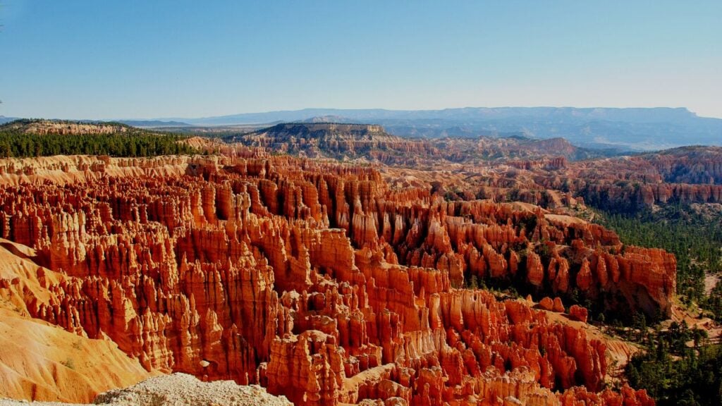
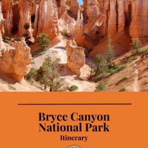
This is the best basic overview map of the Bryce Canyon. The detailed Amphitheater map shows the major hikes at Bryce.
For some reason, the national park seems to be moving to digitized maps, but the PDF maps are still the best. This is the Official Map Page for Bryce Canyon, which contains a digital map. But with it, they often link to an up-to-date PDF map.

The Federal Highway Administration used to provide a map of Scenic Byway 12, an amazing road that you definitely want to check out!
But now it’s not on their site for some reason. We have the guide you need for this in our Bryce Canyon itinerary and audio guide.
Sign up for park updates, travel ideas, new guide releases, discounts, and stories of the West all in our weekly newsletter delivered to your inbox once a week.

Nearby Red Canyon is administered by the Forest Service and is also a great side trip on your Bryce vacation.

Nearby Grand Staircase-Escalante National Monument is a sprawling area full of a variety of slot canyon hikes, terrifying drives, and backcountry trips. It’s so big that we cover it in two of our itineraries: Bryce Canyon and Capitol Reef. These two itineraries work well together to get you to some amazing and accessible sections of Grand Staircase.

Here’s a map of ATV trails around Ruby’s Inn and Bryce Canyon, in case you bring your own ATV or want to rent one.
The Garfield County website is an incredible resource for hiking, biking, horseback riding, and ATV trails in the area.
Our step-by-step itinerary has tons of maps to orient you to the right places to see, to hike, and to eat in and around Bryce Canyon. It will save you loads of time trying to figure it all out!
BRYCE CANYON TRIP PLANNER: To read or watch all of our content about Bryce Canyon National Park, check out our Bryce Canyon Homepage
THINGS TO DO: There is so much to do including, watching a sunrise, horseback riding, biking, and riding trails on ATVs. Don’t miss all the cool side trips on your way to Zion National Park
WHERE TO EAT: Check out the best places to eat in and around the area of Bryce Canyon
GREAT CITIES TO STAY OR CHECK OUT: Learn all about the best places to stay at Bryce Canyon and don’t miss other great cities nearby including Cedar City.
KNOW BEFORE YOU GO: Find out if you need a reservation and how to use the shuttle system
WATCH: Enjoy videos of gorgeous Bryce Canyon National Park while learning our best tips for visiting by watching our Bryce Canyon YouTube Playlist