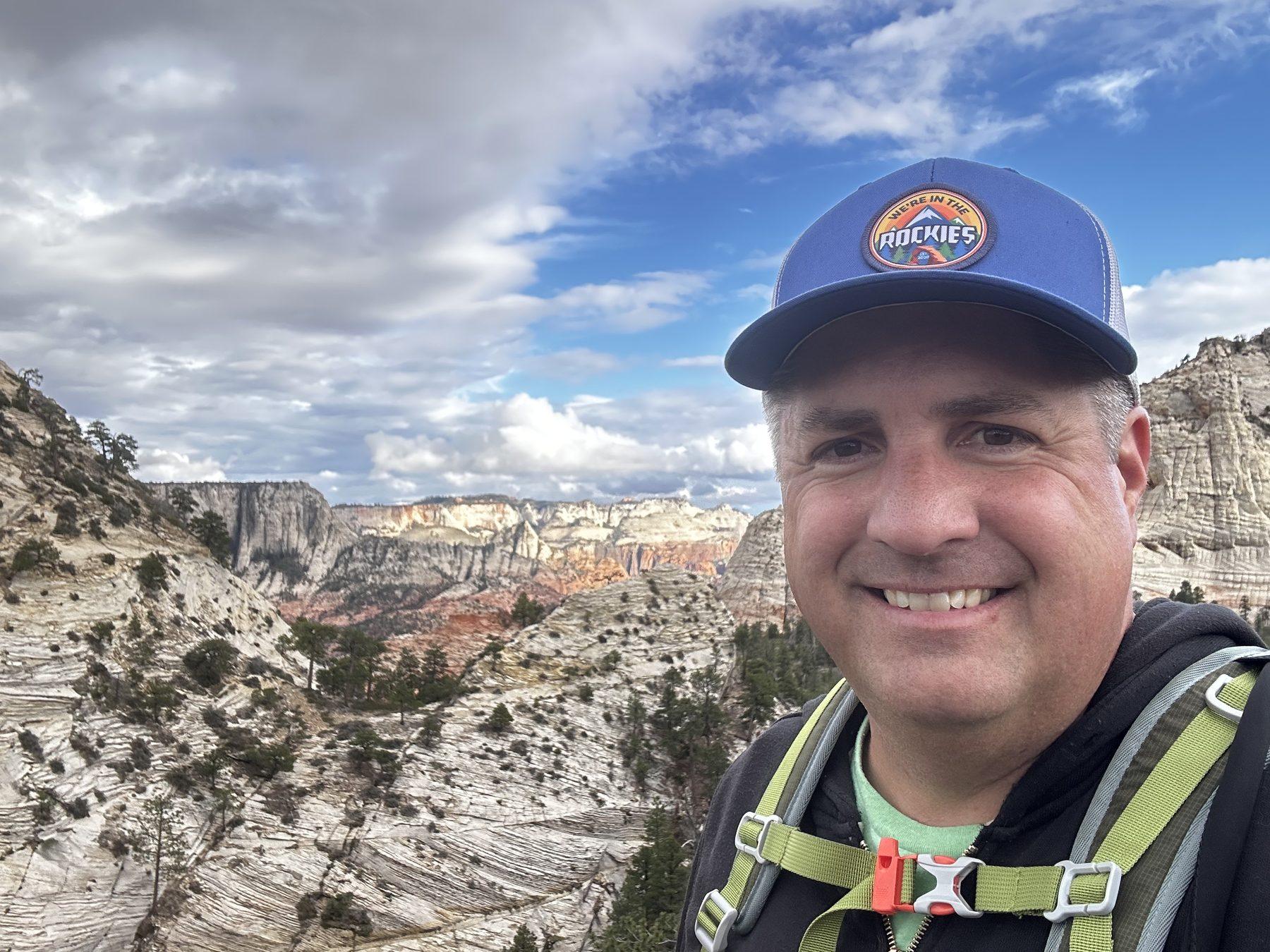
In May of 2025, I finally hiked the Northgate Peaks Trail in Zion, and I was pleasantly surprised by this trail!
It’s one of the few easy day hikes on the west side of Zion National Park, and it’s one I rarely hear people talk about.
But I wondered whether it might be worth it for those of us who aren’t up for hiking 10+ miles.
I’m Matt, and my wife, Cheryl, and I write travel guides to help people plan trips around the West. I paid my own way on this hike, and below I’ll share what surprised me, what I enjoyed, and what to know before you go.

Get our done‑for‑you, 3‑day plan with exact drives and must‑see stops so you don’t waste time in traffic or miss the best views.
Inside the guide:
*Step-by-step plan for Zion to get you to the best hikes, drives, views, and away from the crowds
*Exact time frames and star ratings for hikes and activities, so you get the best value for your time and money
*Includes audio stories to listen to as you drive
*Best Friend Guarantee: Love it or get your money back
*Visiting Utah’s 5 National Parks– Save big $ and get a plan for Zion, Bryce Canyon, Capitol Reef, and Arches & Canyonlands. Learn more here.
Northgate Peaks Trail is located off Kolob Terrace Road (not to be confused with Kolob Canyons). It is located at a higher elevation than the main Zion Canyon, so it has very different views.
This trail is an out-and-back trail totaling about 4.2 miles (2.1 each way). If that sounds far, take heart that it is mostly flat and did not feel like four miles at all.
There is also an option to extend it if you can scramble up some sandstone.
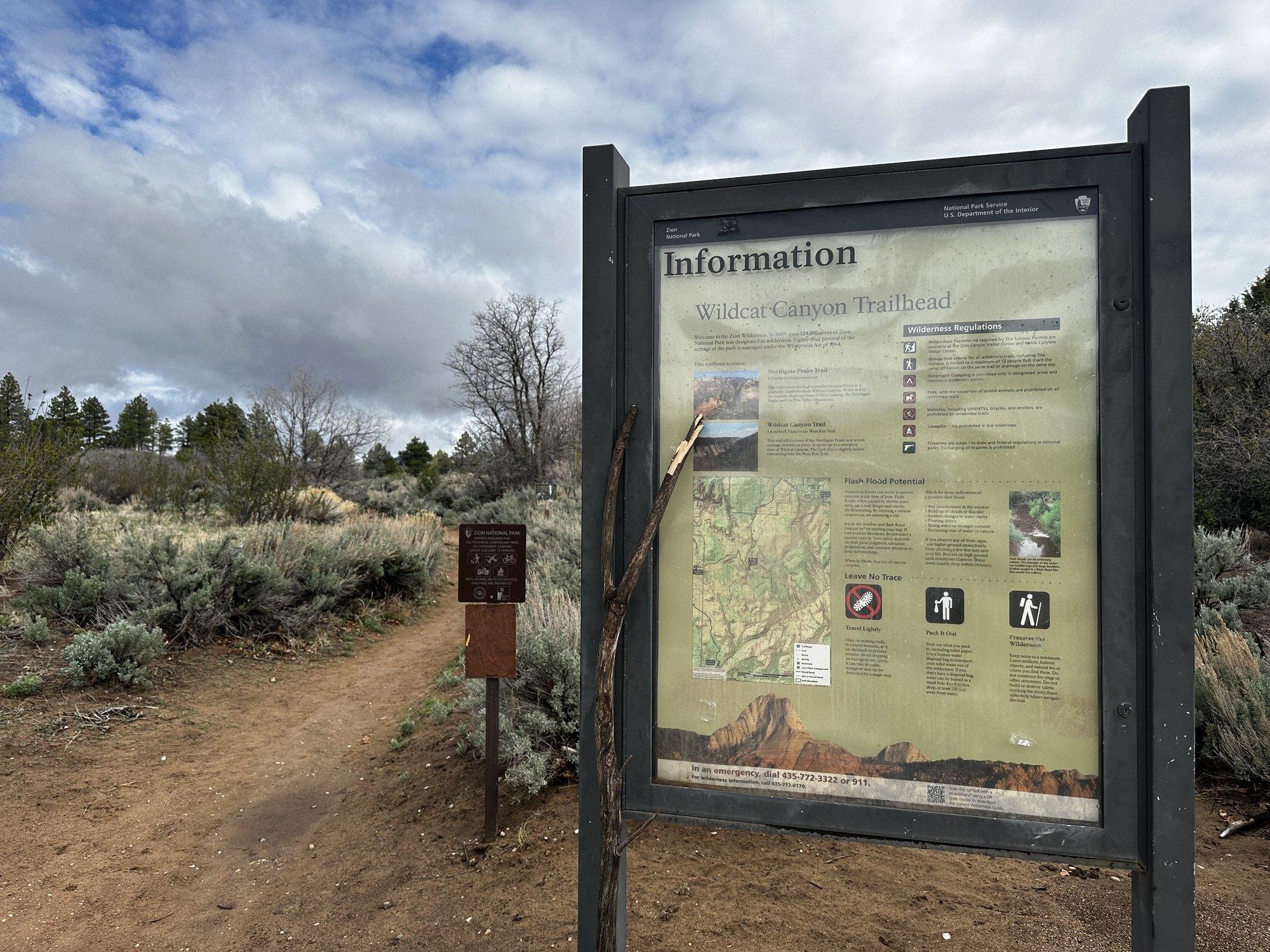
Important: The trailhead is called the Wildcat Canyon Trailhead!
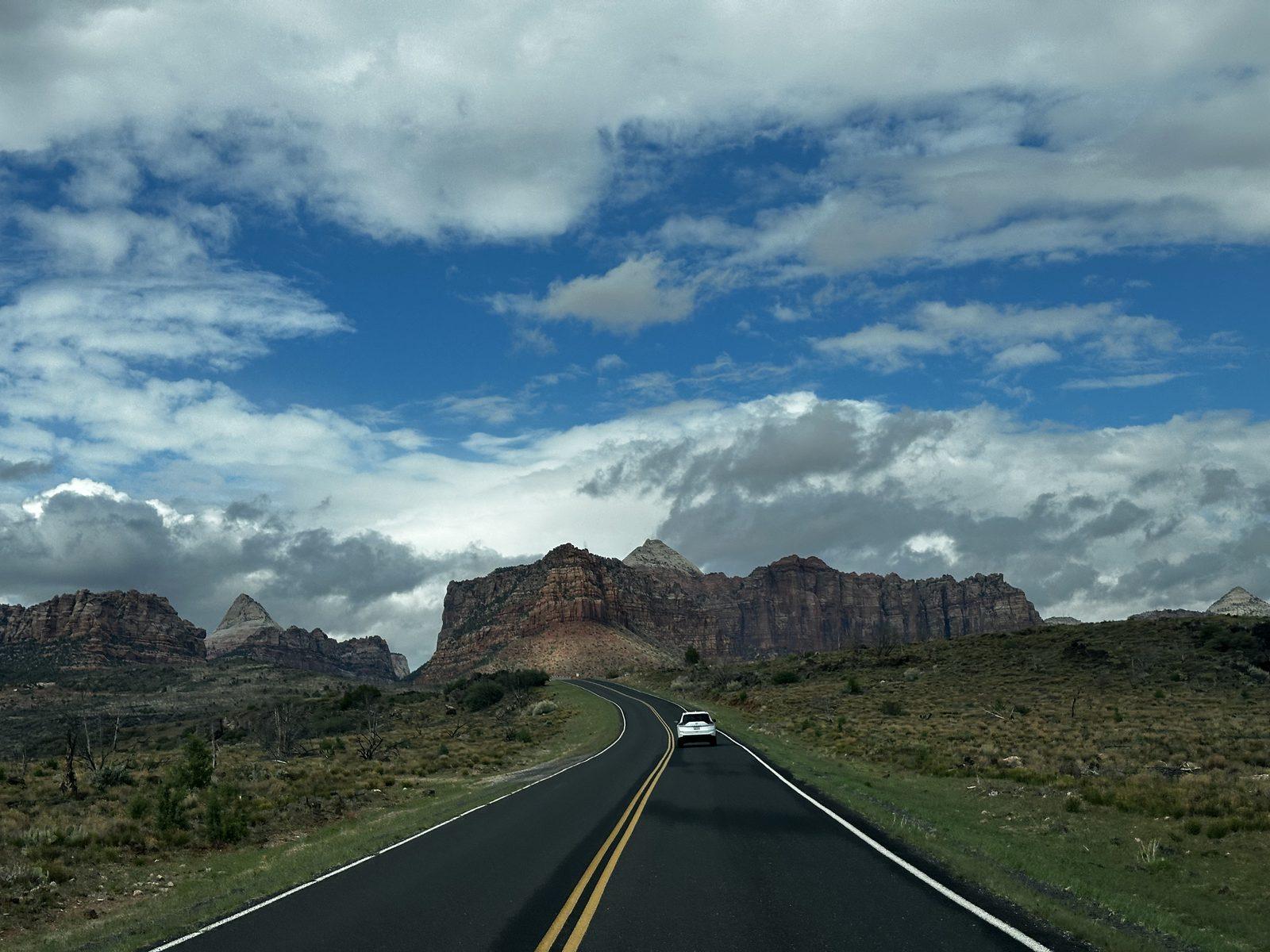
It’s located on Kolob Terrace Road – not to be confused with Kolob Canyons Road. This road branches off Highway 9 at the town of Virgin and leads to Zion’s high country on the west side. Drive about 15.8 miles north from Highway 9 to the trailhead parking area on the right. There is a vault toilet at the trailhead.
It’s a beautiful drive to get there.
RELATED: Learn how driving works throughout Zion National Park, including Kolob Terrace Road.
Free PDF: which shuttle to take, where to park, and what to do at each major stop
Inside the guide:
*Zion Canyon & Springdale shuttles explained in plain English
*Exact parking + timing so you avoid full lots and long lines
*Simple map you can follow even without cell service
*What to do at each main stop so you don’t waste time guessing
It’s called the Wildcat Canyon Trailhead because the beginning of the trail is actually the Wildcat Canyon Trail. About a mile into the hike, you reach the Connector Trail junction; stay on the Wildcat Canyon Trail. About 0.2 miles farther, turn right onto the Northgate Peaks Trail. The sign at the trailhead has information for both hikes.
The trail begins with green grass and ponderosa pines. This is very unlike the main Zion Canyon, which is lower, hotter, and although it still has green growth thanks to the Virgin River, is not nearly as forested as the high plateau.
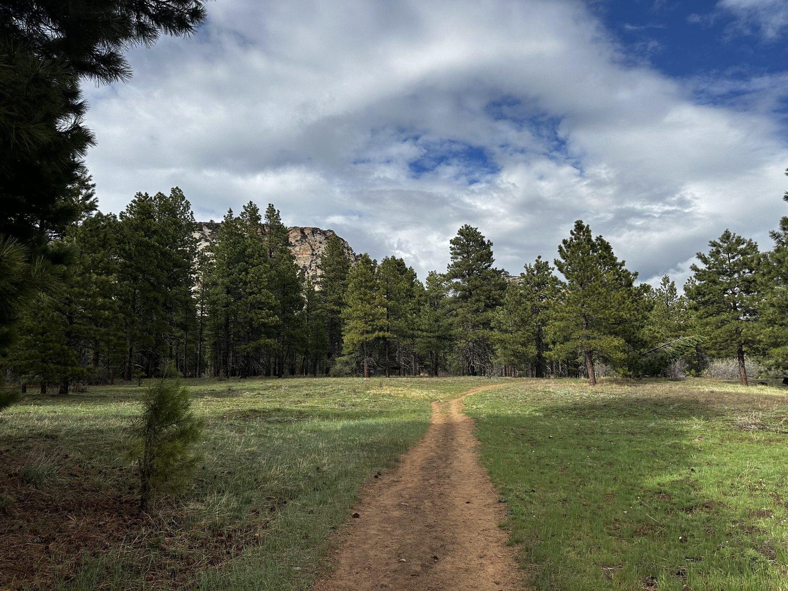
I happened to visit after a rain, so it was exceptionally green. The clouds were still hovering when I began the trail at 5:30 p.m.
Within a few minutes, I could see the first sandstone peak on the horizon. This part of the trail really felt like I was in the mountains, not red rock country.
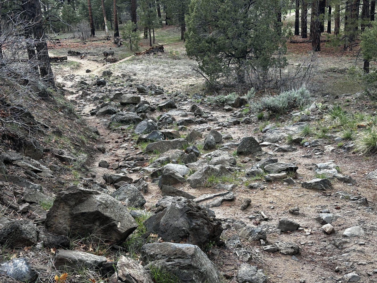
About 15 minutes in, there’s a lava rock section where the trail gets very rocky. This is some fascinating geology. The dark rocks are basalt, formed when lava cooled and hardened. The Kolob Terrace region has experienced several volcanic eruptions, leaving lava flows among the sandstone formations.
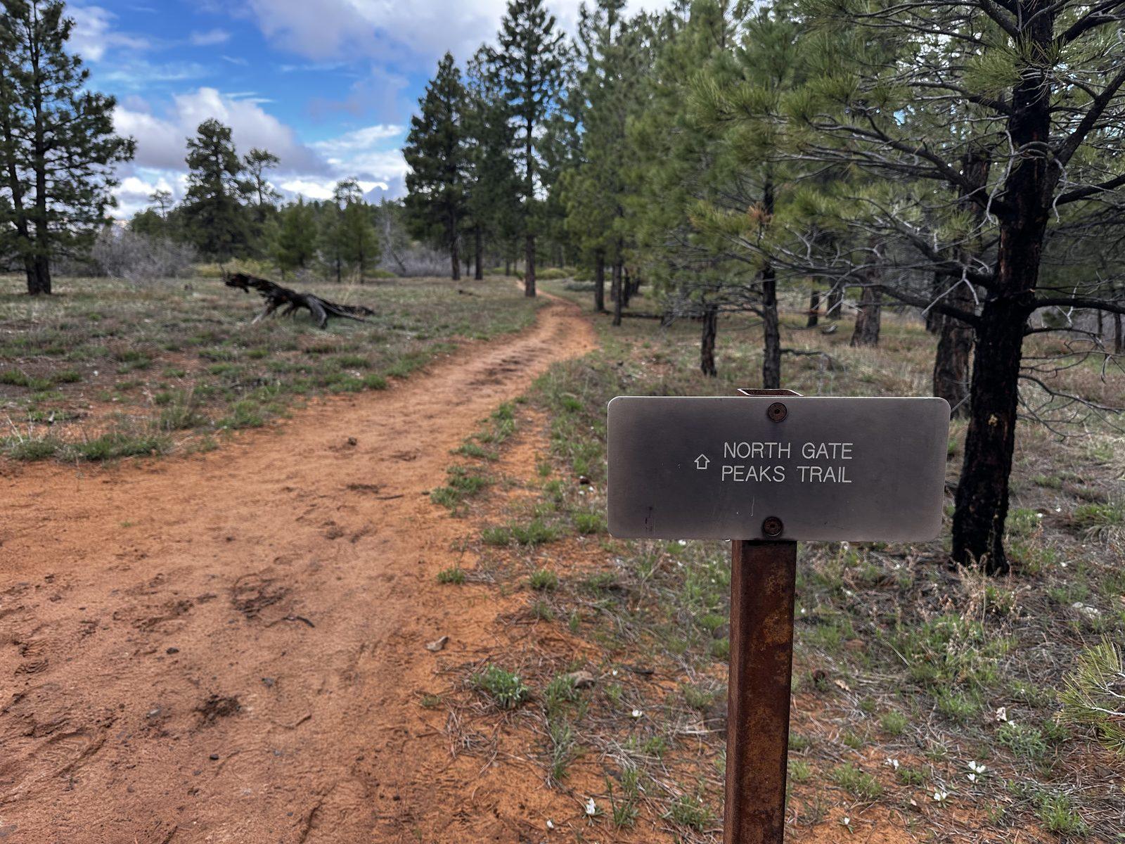
There are signs indicating the right-hand turn to get onto the Northgate Peaks Trail.
After turning onto the trail, the views open up on the left with distant views of sandstone cliffs and canyons.
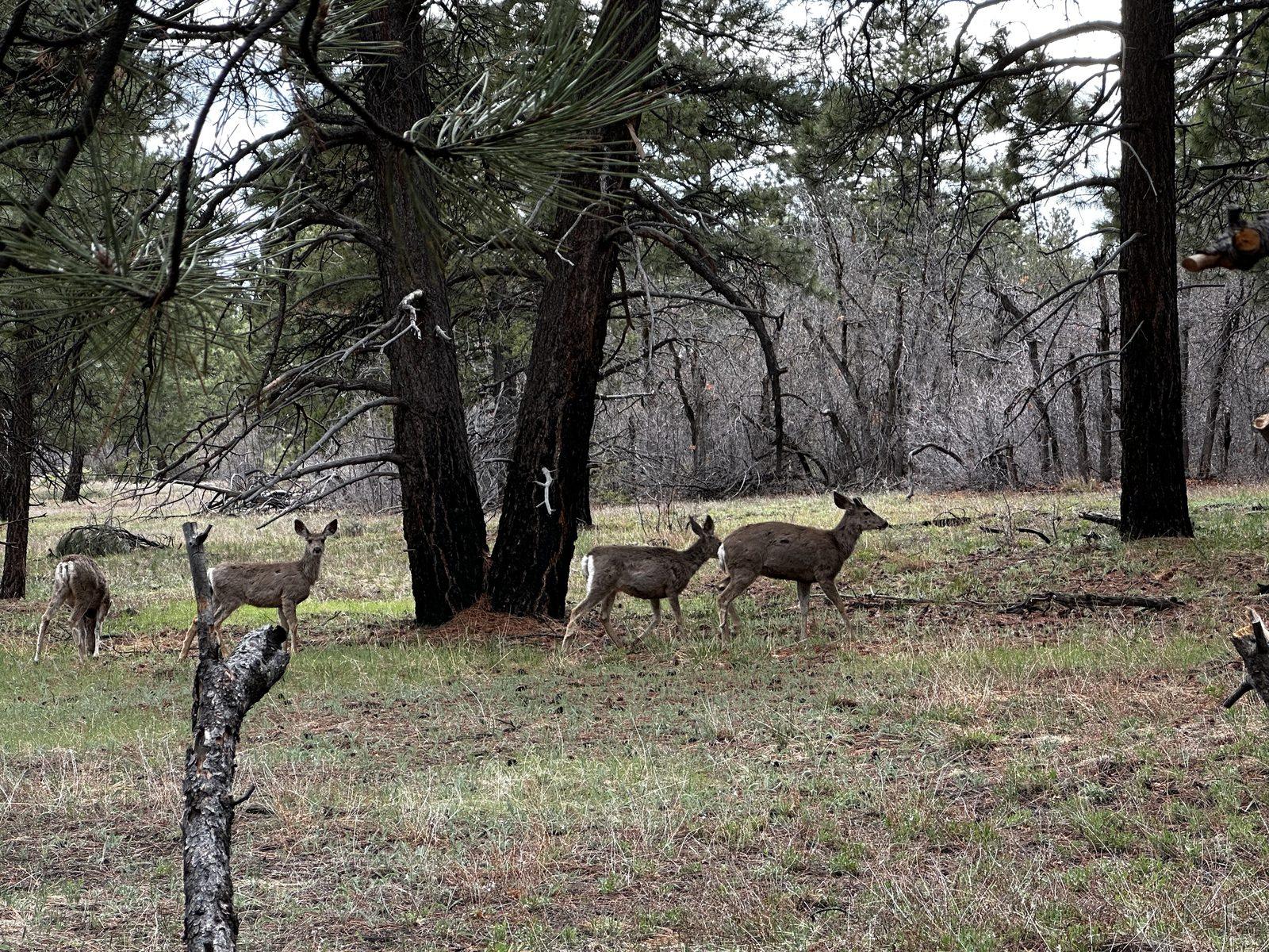
It then led back into more ponderosa pines, where I saw deer on the trail. What a nice surprise!
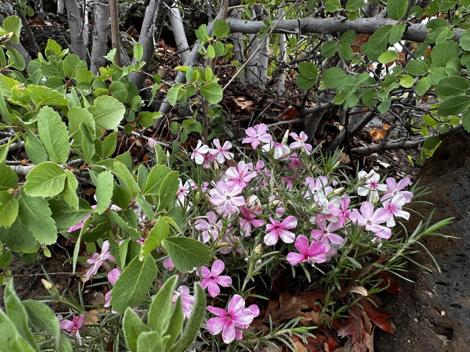
One of the things I enjoyed was seeing the wildflowers along the trail. They added another splash of color to the hike.
About 50 minutes in, white sandstone peaks appeared.
The last section of trail is more lava rocks, and it ends with a viewpoint of several sandstone peaks, including East Northgate Peak and West Northgate Peak. Beyond them are North Guardian Angel and the Great West Canyon area.
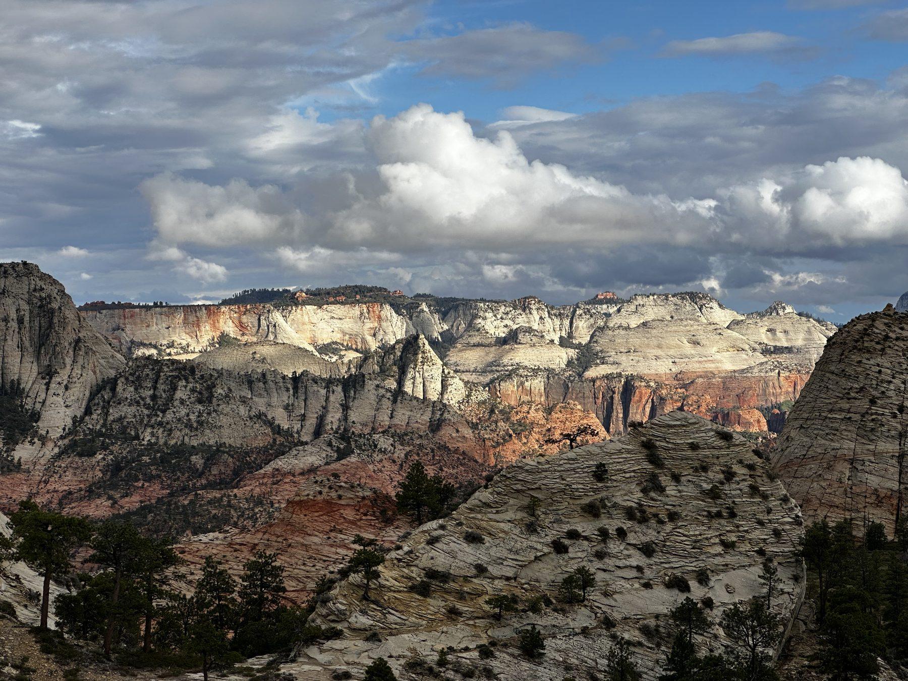
By this point, it was 6:30 p.m., one hour into the hike. I could have arrived faster, but I was taking my sweet time because the whole trail felt like a nice walk in the park (and I had a conversation with a fellow hiker for a bit).
By this time, the sky cleared up, the setting sun popped through, and it lit up the canyon walls in the distance brilliantly. I loved it.
CHECK OUT: How to Hike Angels Landing in Zion
While I enjoyed the view of the canyon, it was far away, and I wished the trail had gotten to some closer views.
Only after the hike did I realize that experienced scramblers can climb onto the Northgate Peaks! These are separate off-trail scrambling routes, not a continuation of the easy maintained trail.
From my understanding East Northgate Peak (to the left of the viewpoint) is the easier option, described as a Class 2 scramble.
West Northgate Peak involves exposed Class 3 scrambling, with hands needed for climbing and the possibility of a serious fall.
Adding a summit means extra distance, climbing, and time beyond the standard overlook hike.
I guess this gives me a reason to do this trail again! I’d like to look into the easier east peak for more elevated views, but I’d want to understand the route and conditions before deciding to scramble to the top.
DON’T MISS: Hiking Taylor Creek Trail in Zion’s Kolob Canyons
Get our done‑for‑you, 5-7‑day route with exact drives, maps, and must‑see stops so you don’t waste time in traffic or miss the best views.
Inside the guide:
*Day‑by‑day plan for Zion, Bryce Canyon, Capitol Reef, Arches & Canyonlands to get you to the best hikes, drives, and activities
*Details You Need: Time frames, driving routes, and where to sleep each night to reduce backtracking
*Includes audio stories to listen to as you drive
*Best Friend Guarantee: Love it or get your money back
This hike is seasonal because upper Kolob Terrace Road commonly closes for several months due to snow, and snow on the trails can linger into late spring. The road climbs from around 3,900 feet near Virgin to over 8,100 feet near Kolob Reservoir, but this hike is around 7,000 feet. If you’re visiting in the summer, it can be a cooler getaway from the main canyon. Check the park’s current road and trail conditions before driving up.
Preparing for sun and heat by bringing water and sun protection is ALWAYS a good idea in the desert. This hike is usually cooler than the main canyon, but it can still get hot. It can also be cold and rainy, so bring layers and check the forecast. Check out our recommended gear for more.
If you’re checking weather before going, you can’t just check Springdale or Virgin, because those are at much lower elevations. If you search for weather at Kolob Reservoir, that will get you closer to accurate, although the reservoir is higher than this hike. When I checked while writing this article, there was a 20-degree Fahrenheit difference between Kolob Reservoir and Virgin, so the difference can be significant.
For more information, see the National Park Service’s Zion weather and climate page. Keep in mind that the Zion Canyon forecast is for a lower elevation than this trail.
Budget extra time only if you are prepared for a separate scrambling outing. The east peak is easier; the west peak has substantial exposure and is for experienced scramblers. Stopping at the main overlook still gives you the complete Northgate Peaks Trail hike.
You can also read the official NPS Wildcat Canyon–Northgate Peaks trail information when planning your visit.
MORE ZION HIKES: See our guide to hiking Taylor Creek Trail in Kolob Canyons.
So, was this hike worth it for someone who doesn’t want a 10-mile outing? For me, yes. The drive to get there is beautiful, and the hike was like a quiet, easy walk in the park. I enjoyed the ponderosa pines, the deer, and seeing a different side of Zion. I wished the canyon views were closer, but I still enjoyed the hike without climbing either peak.
Most travelers want to visit the most popular sites, yet still avoid crowds. We have a detailed itinerary that gives you a step-by-step game plan so you can get to the best places at the right times! Bonus: it comes with an audio guide!
ZION TRIP PLANNER: To read or watch all of our content about Zion National Park, check out our Zion Homepage
THINGS TO DO: Don’t miss all that Zion has to offer, including Emerald Pools, Angels Landing, The Narrows, Kolob Canyons, and biking the canyon
WHERE TO EAT: Check out the best places to eat in and near Zion National Park
GREAT CITIES TO STAY OR CHECK OUT: Learn where to stay or camp when visiting Zion and explore some amazing cities nearby, including St. George, Kanab, and Cedar City
KNOW BEFORE YOU GO: Find out if you need a reservation and how to use the shuttle system, as well as if you can drive in Zion, which entrance to use, and how to avoid crowds
WATCH: Enjoy videos of gorgeous Zion National Park while learning our best tips for visiting by watching our Zion YouTube Playlist